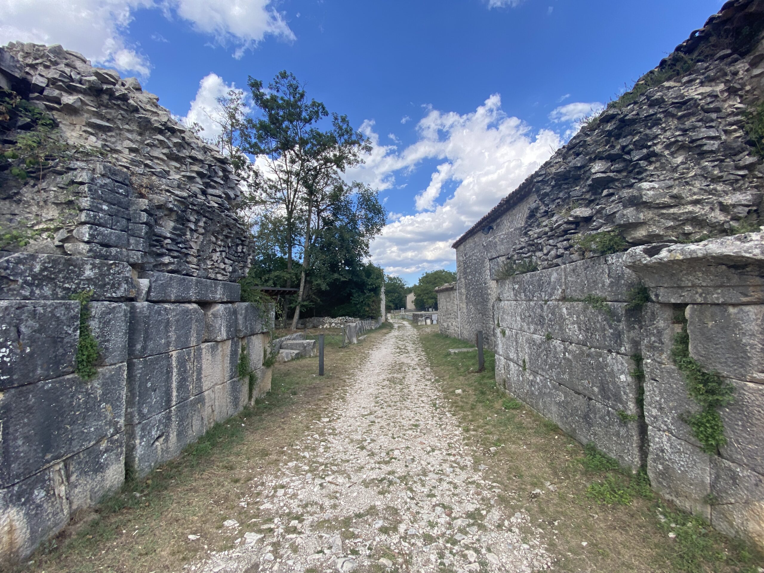
From the slopes of the Matese mountains flow luxuriant springs of clear water that gradually flow downstream, generating an articulated interweaving of water systems that cross and feed the plain below. A vertical movement that has traced a particular river morphology on which people have modelled passages, passes and paths in order to connect the highland areas with the valley, the residential areas and production centres, the spaces for prayer and those dedicated to exchange.The need to establish relationships of proximity between the different production areas has favoured the foundation of settlements located in easily accessible contexts, such as those located in the plains. Starting, in fact, from the fourth century BC, the area becomes a resting space for flocks and a suitable place for the market, not surprisingly located at the intersection of two important road routes: the valley route is transformed into the major urban axis, the Decumanus; the artery descending from the mountain side, directed towards the plain where the Tammaro river flows, is the Cardo. On this road flocks were herded to the nearby mountain pastures or the opposite valley side was reached, which gave access to the Adriatic coast. Connections and junctions that have intertwined territories, enriching communities with cultural contaminations.